NYC Norwalk Branch - North Coast Inland Trail
Posted: Wed Jun 20, 2012 6:25 pm
On the Wheeling and Lake Erie thread I have mentioned a rail trail that I walk on a lot and have taken pictures of trains from. Along the trail there are several restored pieces of railroad history as well as some bridges that were re-designed for trail use. I've been meaning to get some pics of some of this stuff to share here and today I was able to do it.
Here is the general history of the line:
1850 - Chartered as the Toledo, Norwalk and Cleveland Railraod
1853 (Jan) - TN&C completed
1853 (Sep) - Merged to form the Cleveland and Toledo Railroad
1867 - Absorbed into the Lake Shore and Michigan Southern Railway
1914 - Absorbed into the New York Central System
1968 - Absorbed into the Penn Central System
1976 - Abandoned by PC
In the years that followed various sections of it have been purchased by a consortium of park districts to be made into the North Coast Inland Trail.
Here is a map of what is complete so far: http://www.firelandsrailstotrails.org/i ... p_2012.pdf
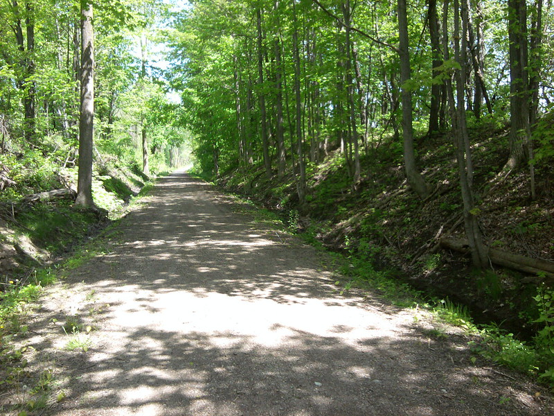
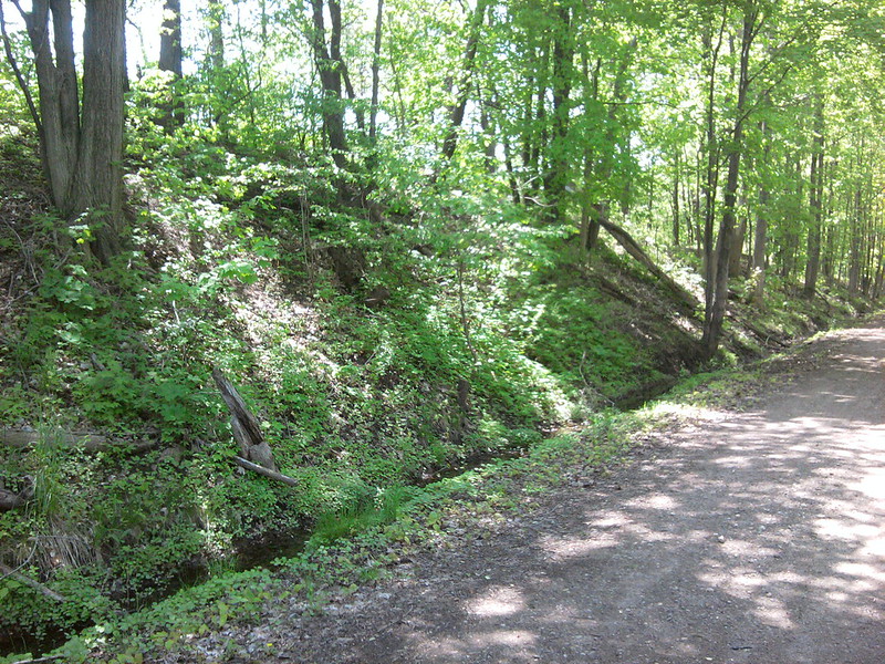
The park district operated sections in Sandusky and Lorain Counties are paved trails, while the Huron County section, which is run by a non-profit organization, is crushed limestone. It is on the Huron County portion between Norwalk and Bellevue that this post is focused.
Now on to the pics...
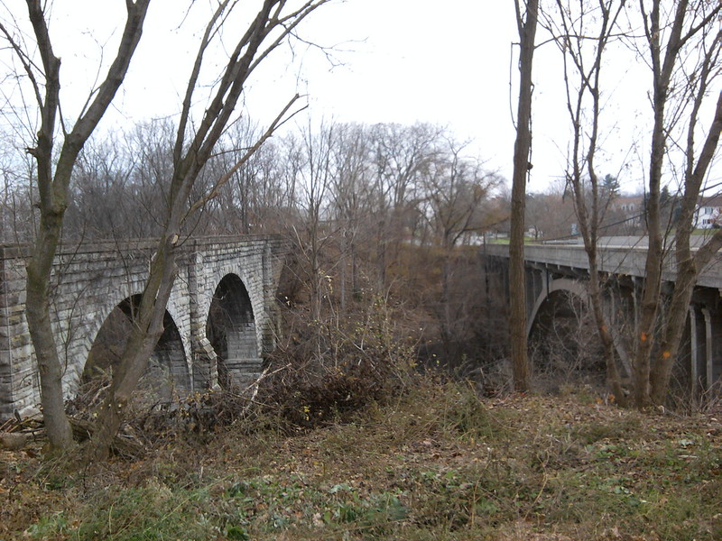
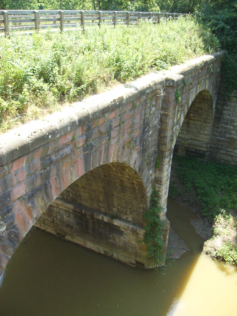
Sandstone double arch viaduct completed by the LS&MS in 1871 over the East Branch of the Huron River, just west of Norwalk. There is an observation deck built next to it, from which I took this pic
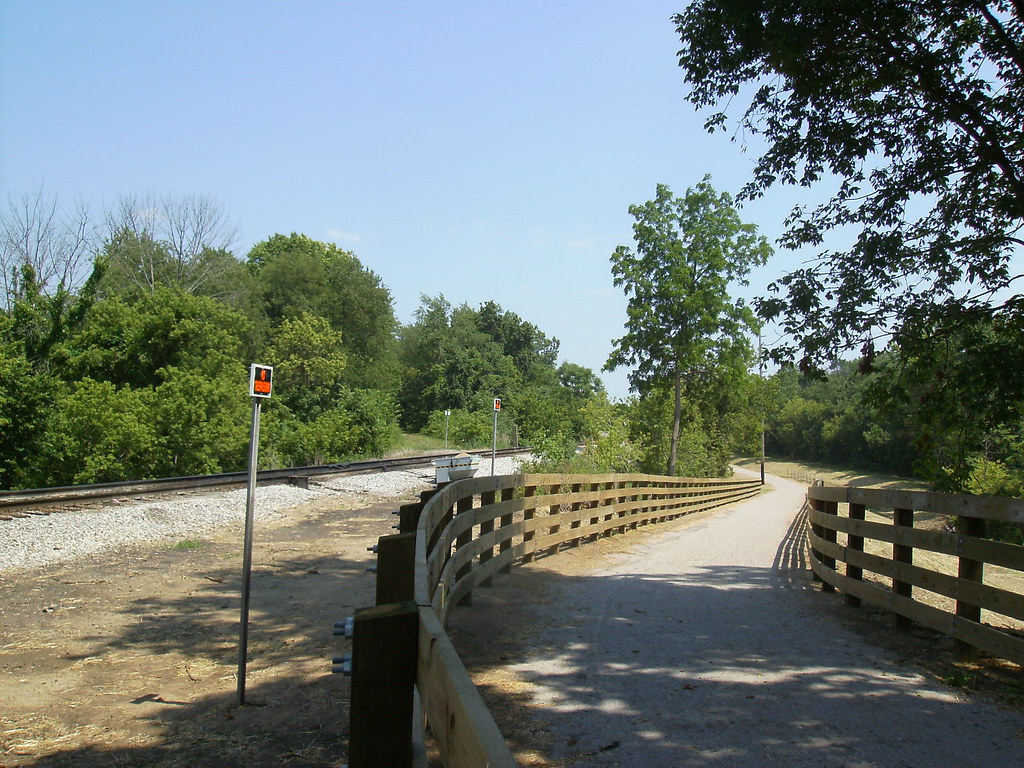
At US 20 in Monroeville, trail on the left, WLE on the right
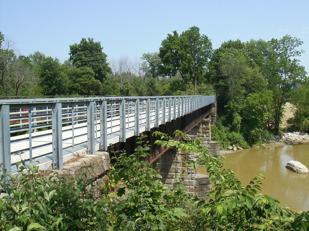
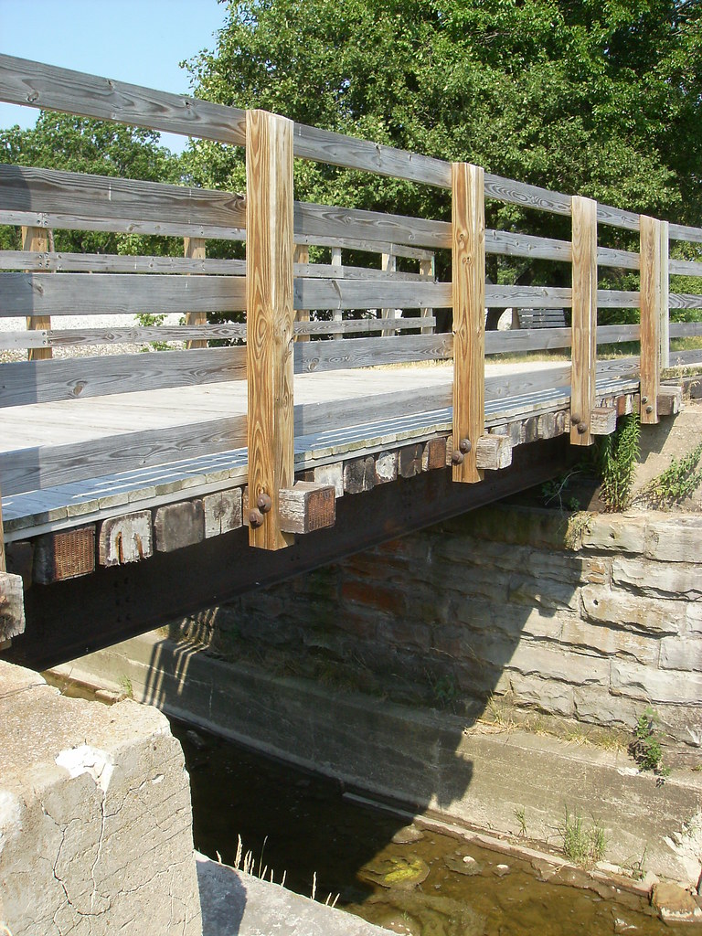
Bridge over the West Branch of the Huron River in Monroeville. This was refurbished by ODOT in 2011 and opened for through traffic earlier this month.

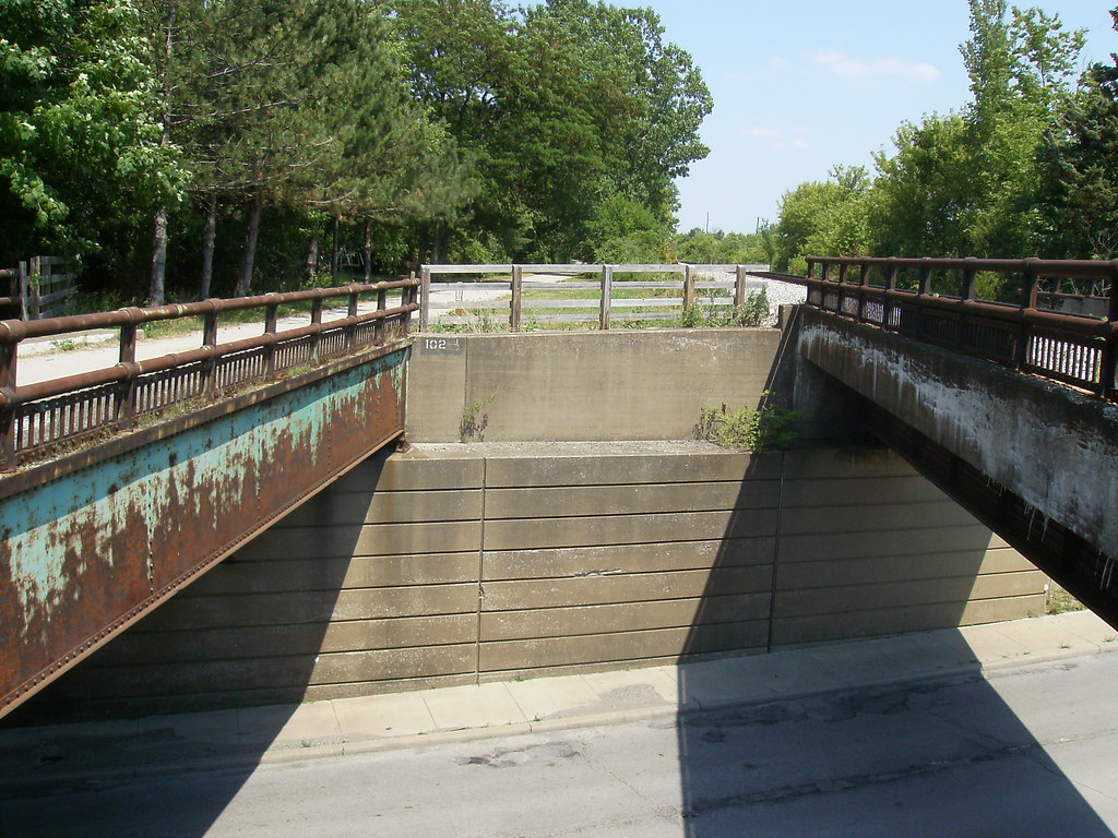
At the east end of the refurbished bridge, where the diamond across the WLE used to be. The trail organization originally wanted to cross the tracks at grade here, but the WLE wouldn't agree. So a lot of earth had to be moved to drop the trail over to the parallel Lake Shore Electric RoW, which sits about 10-15 feet lower than the WLE. The trail uses the LSE for just under 1/2 mile, and trail users are able to cross the tracks back to the NYC part ofthe trail at Peru Center Road.
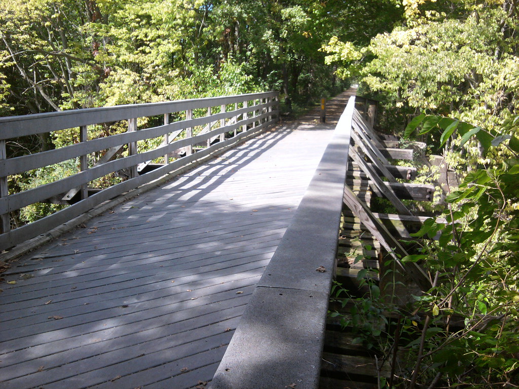
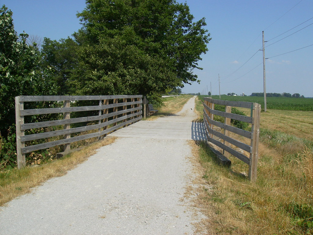
One of two rebuilt bridges over small creeks between Monroeville and Bellevue. This one just east of Young Road.
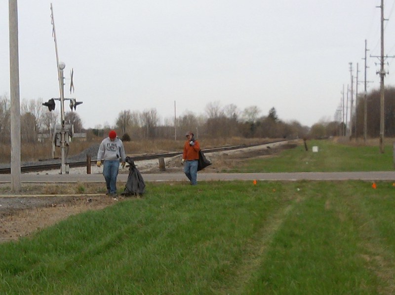
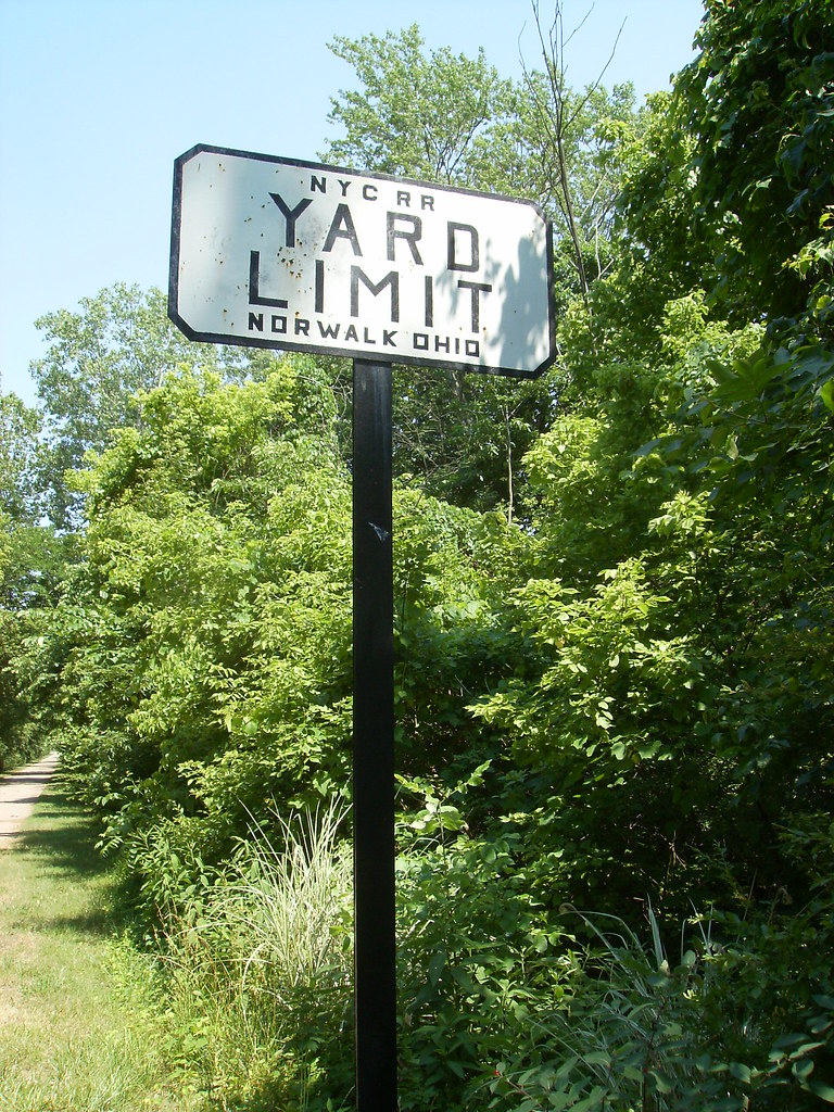
Sign in Norwalk between North West St and the river
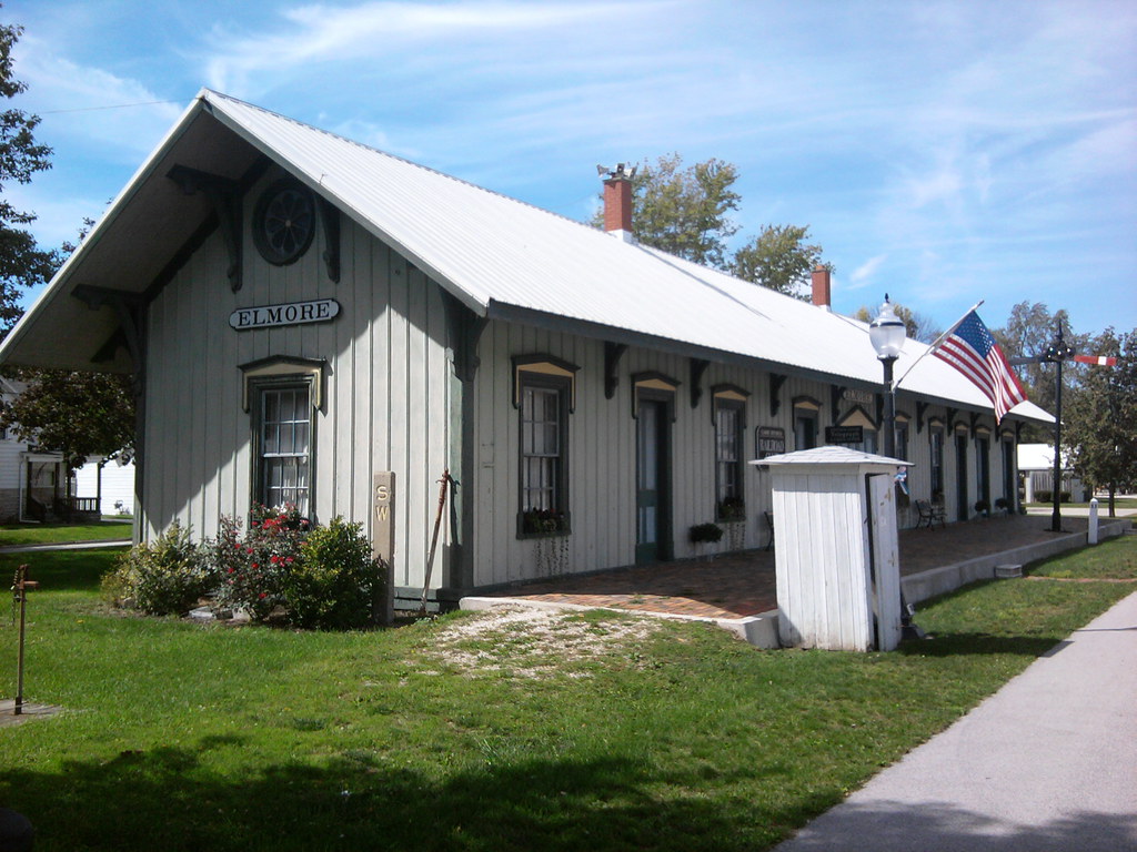
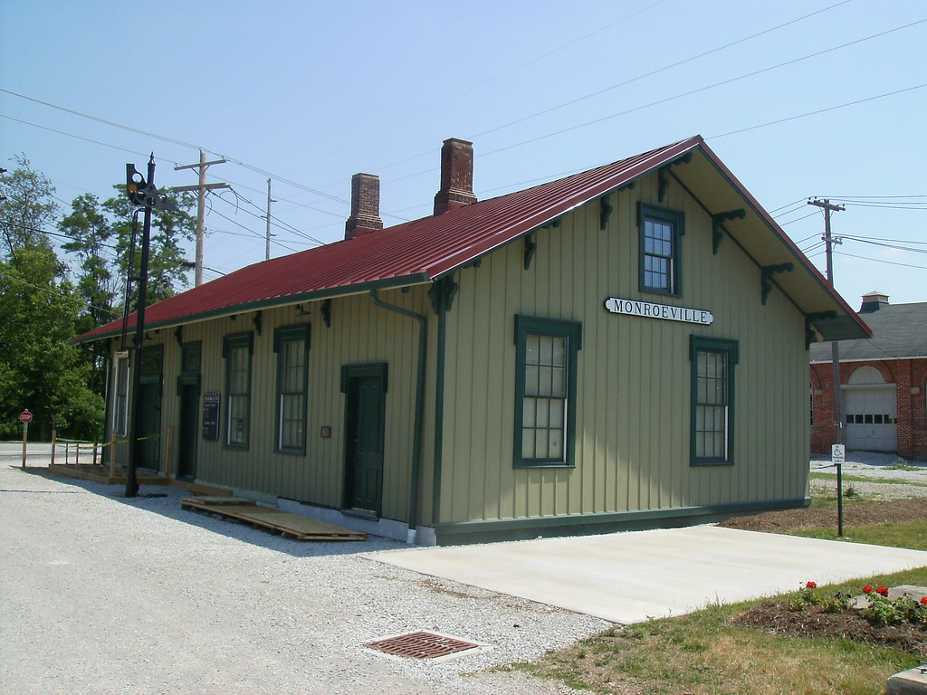
Restored 1863 C&T depot in Monroville. The interior has been very well decorated with various railroad memorabilia and timeline plaques, as well as photos of the trail's construction. This building is occasionally open for trail users to took at, and also serves as the headquarters of the trail organization.
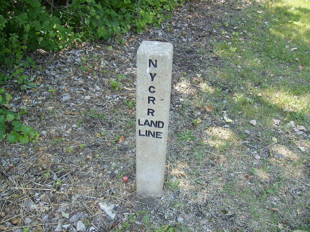
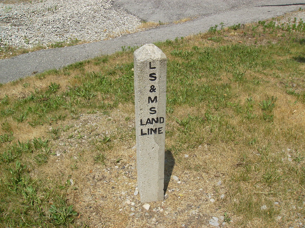
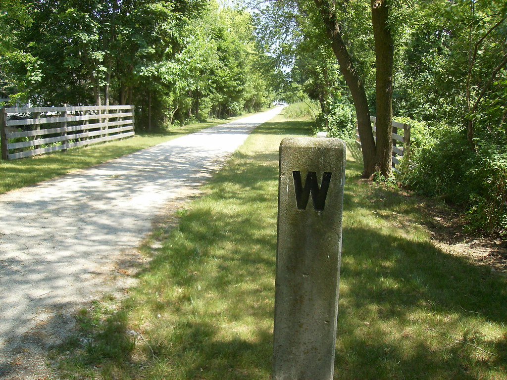
There are several land line markers and whistle posts along the trail. These 3 are in Monroeville.
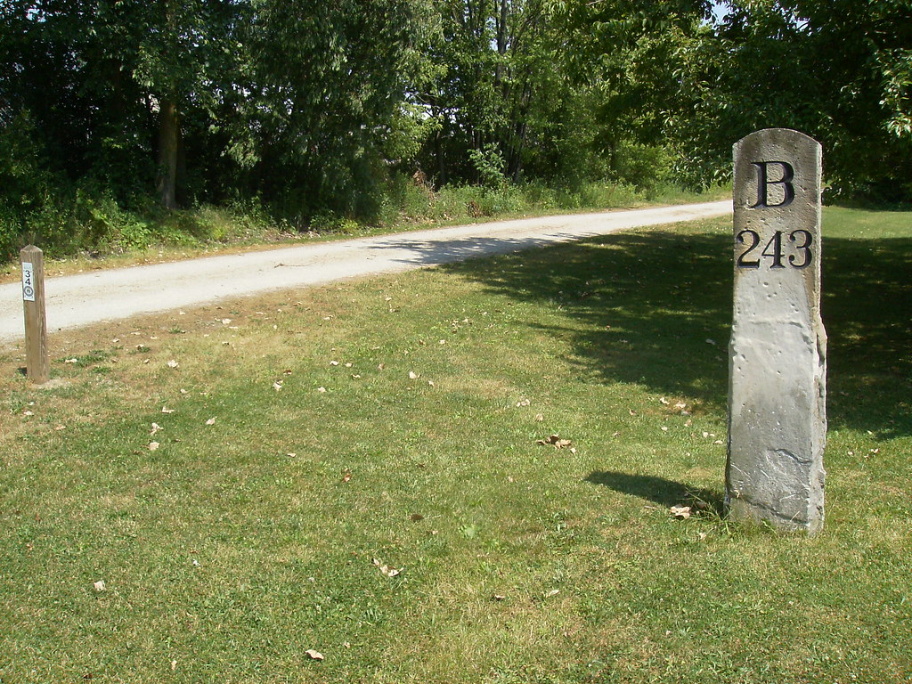
Old mile marker next to a new one, in Monroeville. The railroad marker tells the distance to Buffalo and has a
"C 297" on the other side for Chicago. The trail markers are based on the distance from the east end of the NCIT in Lorain County.
Thanks for viewing, hope you enjoyed it. If anyone has any additional historical info to add about this rail line feel free to do so.
Here is the general history of the line:
1850 - Chartered as the Toledo, Norwalk and Cleveland Railraod
1853 (Jan) - TN&C completed
1853 (Sep) - Merged to form the Cleveland and Toledo Railroad
1867 - Absorbed into the Lake Shore and Michigan Southern Railway
1914 - Absorbed into the New York Central System
1968 - Absorbed into the Penn Central System
1976 - Abandoned by PC
In the years that followed various sections of it have been purchased by a consortium of park districts to be made into the North Coast Inland Trail.
Here is a map of what is complete so far: http://www.firelandsrailstotrails.org/i ... p_2012.pdf
The park district operated sections in Sandusky and Lorain Counties are paved trails, while the Huron County section, which is run by a non-profit organization, is crushed limestone. It is on the Huron County portion between Norwalk and Bellevue that this post is focused.
Now on to the pics...
Sandstone double arch viaduct completed by the LS&MS in 1871 over the East Branch of the Huron River, just west of Norwalk. There is an observation deck built next to it, from which I took this pic
At US 20 in Monroeville, trail on the left, WLE on the right
Bridge over the West Branch of the Huron River in Monroeville. This was refurbished by ODOT in 2011 and opened for through traffic earlier this month.
At the east end of the refurbished bridge, where the diamond across the WLE used to be. The trail organization originally wanted to cross the tracks at grade here, but the WLE wouldn't agree. So a lot of earth had to be moved to drop the trail over to the parallel Lake Shore Electric RoW, which sits about 10-15 feet lower than the WLE. The trail uses the LSE for just under 1/2 mile, and trail users are able to cross the tracks back to the NYC part ofthe trail at Peru Center Road.
One of two rebuilt bridges over small creeks between Monroeville and Bellevue. This one just east of Young Road.
Sign in Norwalk between North West St and the river
Restored 1863 C&T depot in Monroville. The interior has been very well decorated with various railroad memorabilia and timeline plaques, as well as photos of the trail's construction. This building is occasionally open for trail users to took at, and also serves as the headquarters of the trail organization.
There are several land line markers and whistle posts along the trail. These 3 are in Monroeville.
Old mile marker next to a new one, in Monroeville. The railroad marker tells the distance to Buffalo and has a
"C 297" on the other side for Chicago. The trail markers are based on the distance from the east end of the NCIT in Lorain County.
Thanks for viewing, hope you enjoyed it. If anyone has any additional historical info to add about this rail line feel free to do so.